Thematical trails
bookmark
Thematical trails
bookmarkWarth-Schröcken | on the trail of the Walsers
The villages of Lech, Schröcken and Warth are typical Walser settlements. In the 14th century, the Tannberg area was populated by the Walsers.More
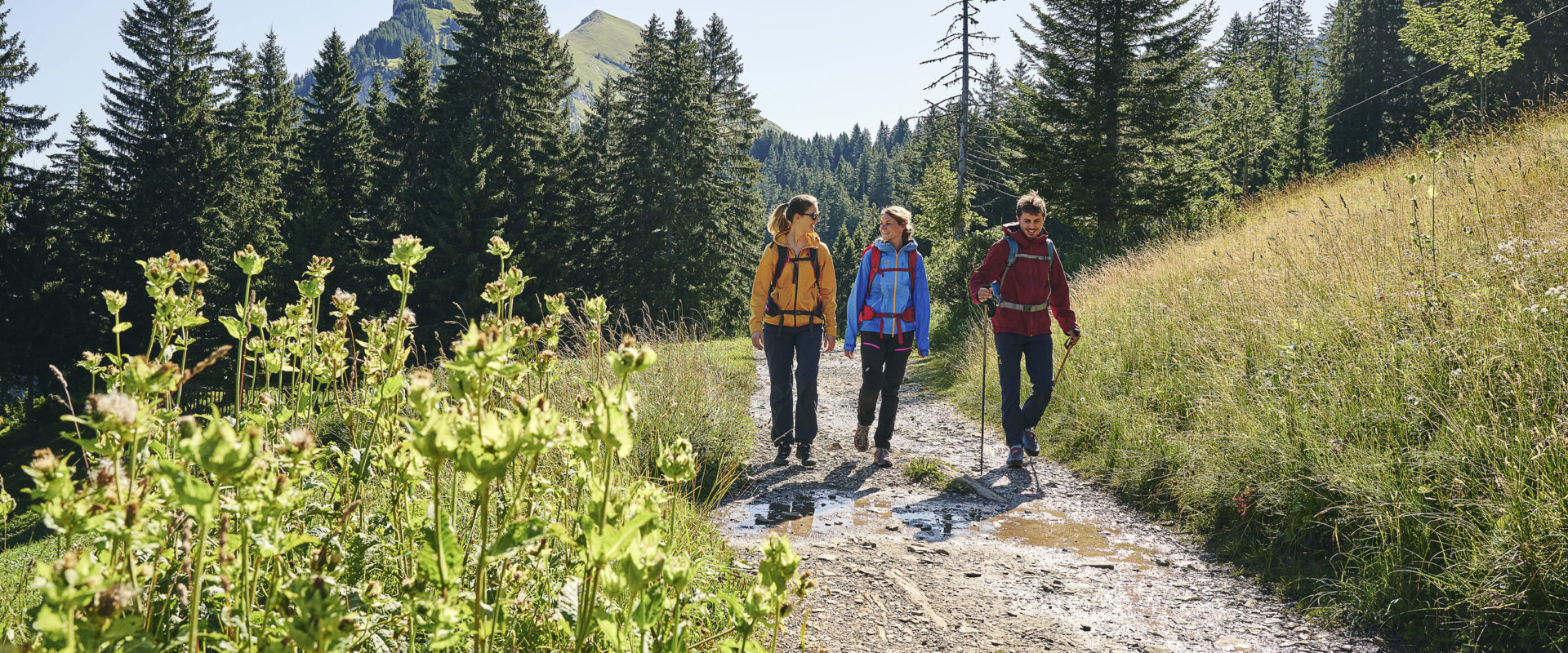
Bregenzerwald has many hiking paths that tell stories about the life and culture of the region and aspects that make it special.
The villages of Lech, Schröcken and Warth are typical Walser settlements. In the 14th century, the Tannberg area was populated by the Walsers.More
Storytellers used to be part of daily village life.More
This cable car, which was built just a few years ago, transports hikers uphill in just minutes. The valley and mountain stations feature architecturally attractive…More
Faschina is located in the Großes Walsertal biosphere park. The Stafelalpe two-seater chair lift takes guests up to the mountain station at 1,865 m.More
The Sonntag-Stein hiking area in the Großes Walsertal biosphere park is easy to reach via cable car. The mountain station is located at 1,300 m…More
The 4-seater “Steffisalp-Express” chair lift in Warth takes guests to the mountain station at 1,822 m. From here there are countless hikes and mountain tours…More
A 2-seater chairlift heads to 1,530 m on the “Niedere,” Andelsbuch’s local mountain. Numerous hiking trail criss-cross the mountain’s ridges.More
From Bezau a modern cable car leads to the Sonderdach middle station and the Baumgarten mountain station, where there is a modern panorama restaurant with…More
The Diedamskopf near Au-Schoppernau is one of the most scenic mountains in Bregenzerwald. Take the 8-passenger gondola lift up to enjoy the views!More
From the high-elevation village of Damüls, the “Uga Express” 4-seater chair lift delivers hikers to the hiking area at 1,800 m elevation in just 5…More
People and dogs profit from hiking together. Both learn and experience something new, especially under professional supervision.More
The gentle panoramic hike at an altitude of over 1,000 m takes you along the nature trail into the gently undulating hills of the Upper…More
Over 1,500 km of signposted hiking paths take you through the valley area and up its mountains. Lots of paths for various hikes and rambles. It was anything but an…
Read moreUniformly signposted trails and hiking maps help make navigating in the mountains easier
Read more